Posting and sharing of community-contributed field photos. Our website enables citizens and scientists to contribute geo-referenced field photos and classify the field photos for relevant land cover types. Users can also download photos and thematic database of land cover as interpreted by people, and use them for GIS data analysis, and calibration and validation of land cover maps.
University of Oklahoma, Norman, OK, USA; partially funded by NASA, NIH, and USAID.
Land use and land cover change studies at regional to global scales require large numbers of field sites for algorithm development and accuracy evaluation. Rapid development in integration of digital camera, hand-held GPS device, computer and internet make it possible for both scientific communities and citizens to collect and share geo-referenced field photos. The Global Geo-Referenced Field Photo Library, developed at the Earth Observation and Modeling Laboratory of University of Oklahoma, offers the capacity for users to upload, query (by themes and geographically), and download geo-referenced field photos in the library. It offers interactive capacity for users to interpret and classify field photos into relevant land cover types and builds photo-based land cover database. The users can use both photos and associated databases to carry out land use and land cover analysis in a geographical information system. The users who provide field photos can decide whether individual photos are to be shared or not.
To be posted when available.
| Project Lead | Xiangming Xiao (xiangming.xiao@ou.edu) |
| Project Website | http://www.eomf.ou.edu |
Figure 1. A sample page of the Global Geo-Referenced Field Photo Library (http://www.eomf.ou.edu/photos/index.php)
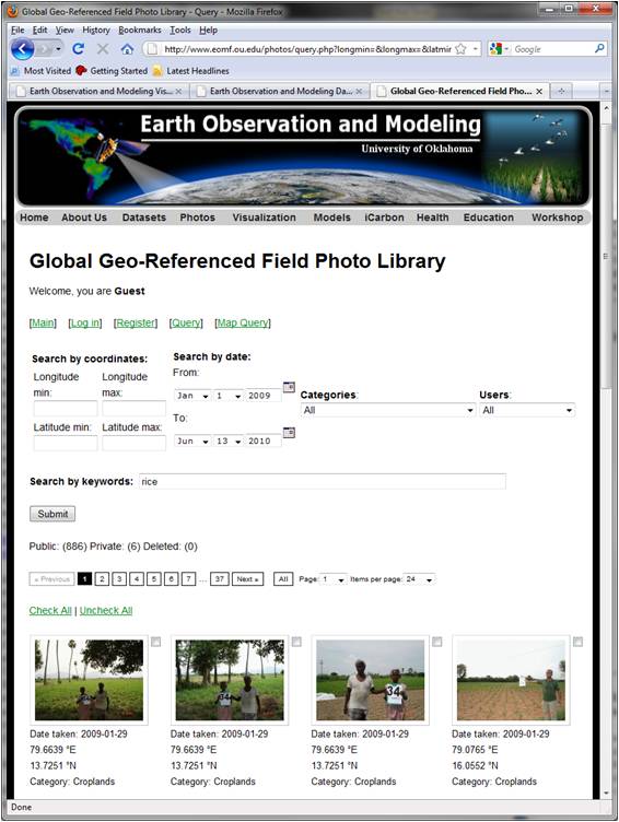
Figure 2. A photo from GPS-based camera in Poyang Lake, Jiangxi province, China.
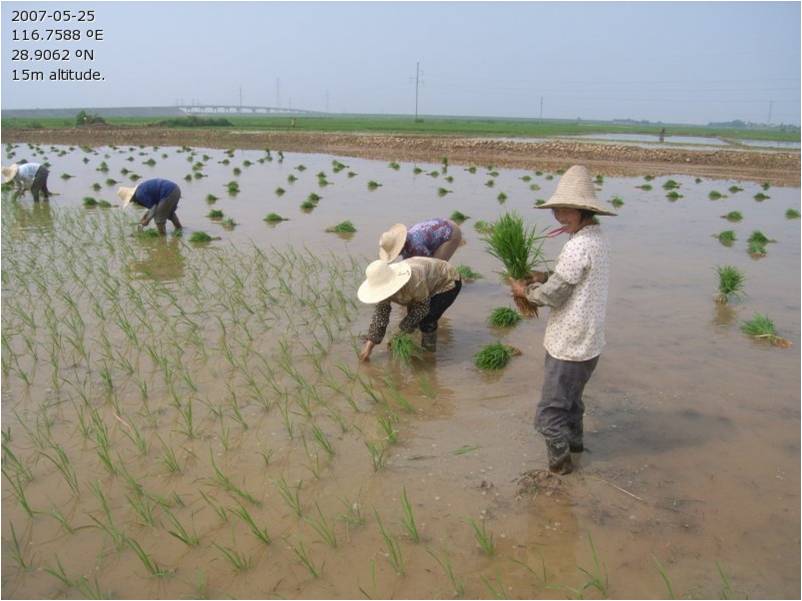
Figure 3. Spatial distribution of available field photos for rice fields in Asia. The larger size the circles, the more field photos in the area.
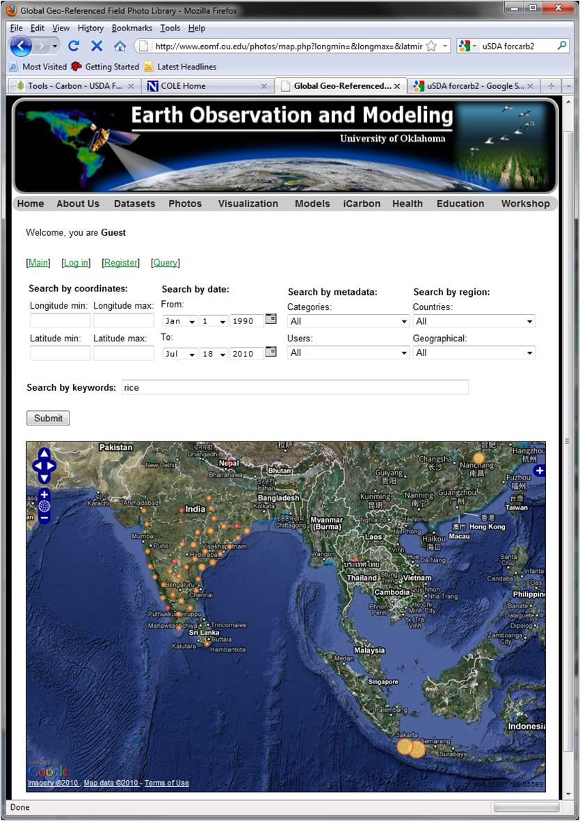
Figure 4. A query and visualization for geo-referenced field photos in India.
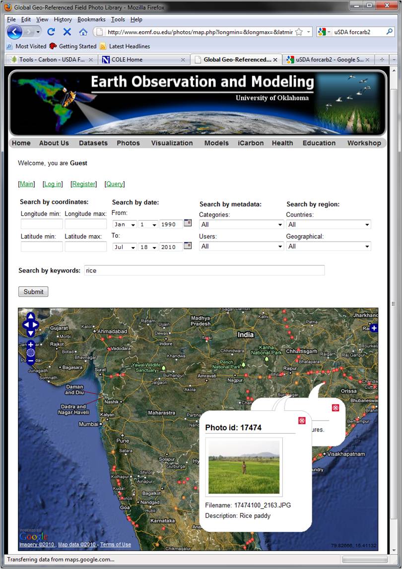
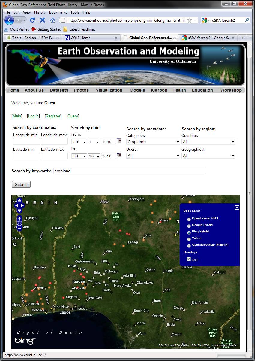
Figure 5. Distribution of geo-referenced field photos for croplands in Nigeria.